
USA 2023, Day 6 – July 4
“Updated in May 2026 with new information about the trip preparation.”
The day we chose the desert
After the days in Yellowstone and Grand Teton, it was time to turn north, toward Glacier National Park. Stevensville, south of Missoula, was the midpoint. And to get there, we had three options.
There were several ways to reach a town south of Missoula called Stevensville, where we had a cabin booked.
A dirt track, which we ruled out — though it caught JP’s eye, as always happens when there’s something tricky ahead. A boring four-lane highway, like all highways. And Highway 28: the Idaho desert.
We picked the desert.
Highway 28: a straight line to the horizon
This is easier to picture if you zoom into the map.
The engineer who designed Highway 28 didn’t have to think too hard about it. A straight line. Ranches on the right. More ranches on the left. And a strong, shifting wind that battered us from every angle for two hours, because when the desert is that big, the wind does whatever it wants.
It wasn’t sand, but it was dirt where almost nothing grew. We passed a couple of vehicles, one motorcycle, and not much else. If we’d had a flat tire out there, things would have gotten complicated fast. But JP was there, and he fixes everything.
Leadore: the Fourth of July at the end of the world
It was the Fourth of July, the biggest day of the year in the United States, and ranchers from the neighboring counties had come to celebrate. They were sitting on the dirt shoulder, in those woven folding chairs — white, blue and orange stripes — the kind we used to bring to the beach forty years ago. All of them waiting for the parade.
JP and I rode slowly down the street, waving from our bikes. They waved back. Like the Queen of England, except on motorcycles and wearing helmets.
We stopped for a drink at the only bar in town. I went to the bathroom. When I got back, JP was already putting his gloves on, ready to go. The place was serving whisky by the jug at 10 in the morning, and the clientele was… varied. No judgment here.
Just as we were about to leave — like the rider who’d greeted us on the way in, clearly eager to escape before the parade — a lady leaned on my red bag and struck up a conversation with us.
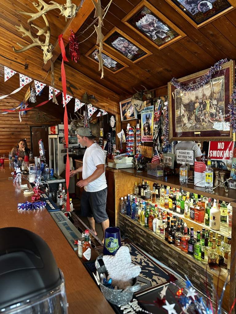
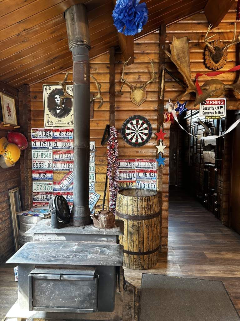
Just as we were about to leave — like the rider who’d greeted us on the way in, clearly eager to escape before the parade — a lady leaned on my red bag and struck up a conversation with us.
She was 87 years old. Kind, sharp as a tack, and hadn’t touched a drop of whisky, unlike most of the people around her.
She told us there were 57 registered voters in that county. That everyone sitting along the shoulders were ranchers from the surrounding area. That at noon the fire department parade would start, and everyone would follow on foot. Afterward there’d be a rodeo, and two cowboys with lassos would have to bring down a calf and tie its back legs as fast as possible.
That was their Fourth of July. No city fireworks, no massive concerts. Just their own people, doing what they loved most. We lost the video we recorded with her. Such a shame.
JP, the desert, and 15 miles of gas
We left Leadore thinking the next towns would also have parades blocking the road. Luckily, that wasn’t the case.
What there was, was more wind. And an unexpected stop by JP in the middle of the desert to answer nature’s call.
“Keep going, keep going, I’ll catch up in a few minutes.”
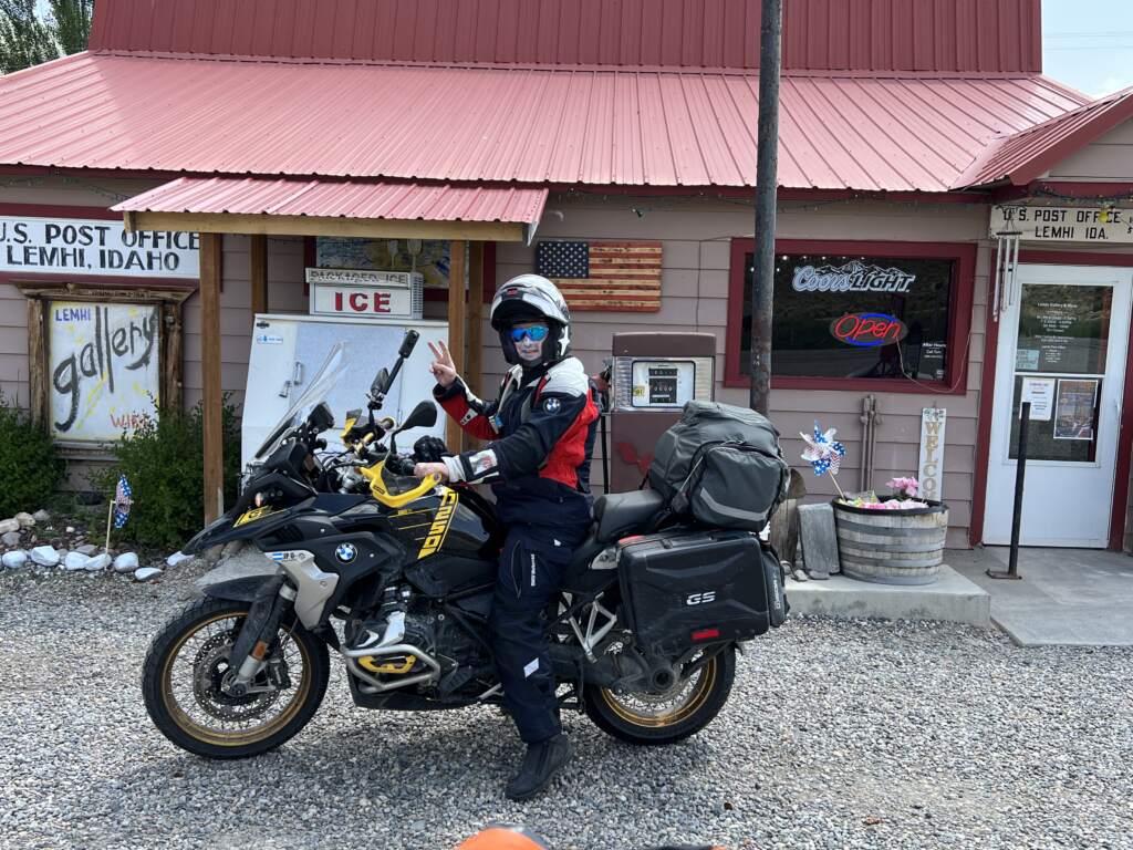
I kept going at 55 mph. JP caught up with me about 15 kilometers later, but the burst of speed to make up lost time, combined with the wind and the desert, had left his tank nearly empty.
We passed a couple of spots that showed up as gas stations on the map but were actually remnants of old Pony Express relay stations, where riders would swap horses to keep the mail moving. No gas whatsoever.
JP made it into Salmon with barely 15 miles left in the tank.
Salmon: real salmon and real coffee
Salmon is a peculiar place. I know because I’d been there before, when I did the Lewis & Clark expedition route with my friend JA a few years back. It’s where the desert ends and the mountains begin, and everything there is on an exponential scale. The rivers, the buildings, the cars, the dogs in the pickup trucks — all riding loose in the open bed, in the wind, happy, and not one of them fell out.
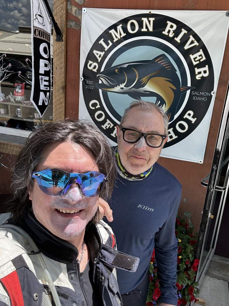
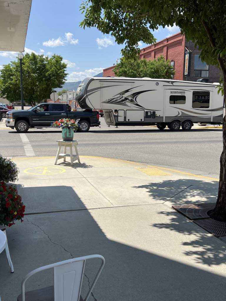
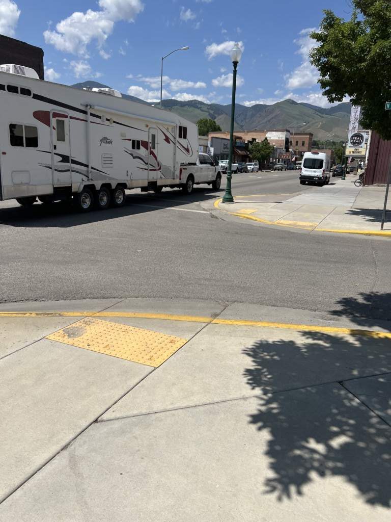
Since it was the Fourth of July, the only place open to eat was a pizzeria. Afterward we found a good coffee shop, where JP ordered our coffees — espresso for him, iced mocha for me — while I entertained myself taking photos.
We filled up our tanks and headed toward Stevensville, crossing Lost Trail Pass, at 2,138 meters of altitude. A gorgeous pass, with Lewis & Clark present at every turn.
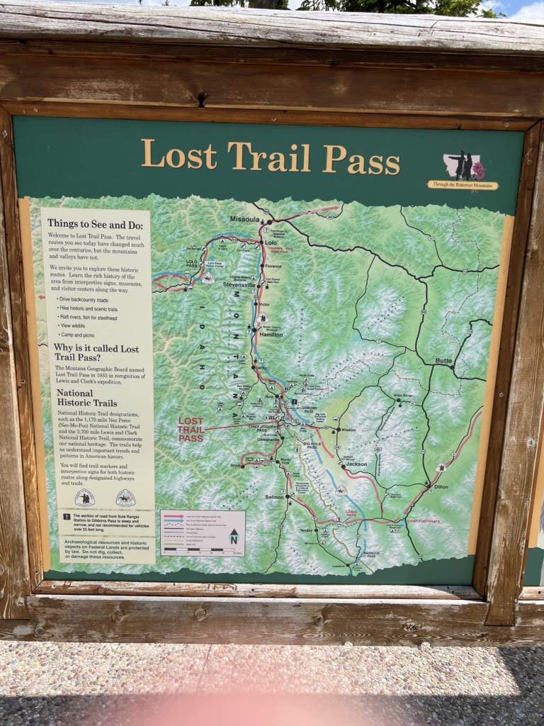
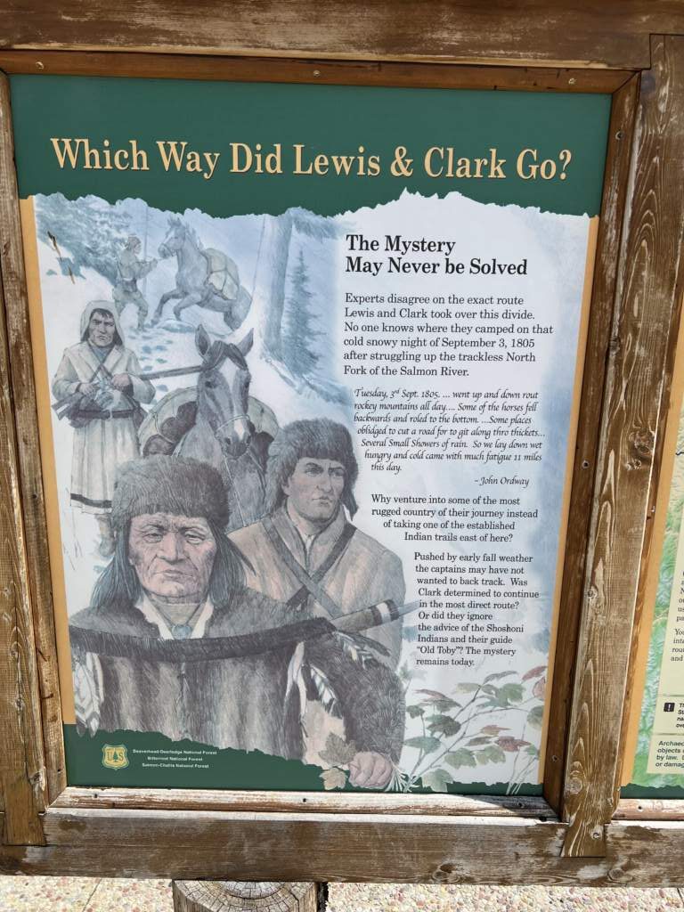
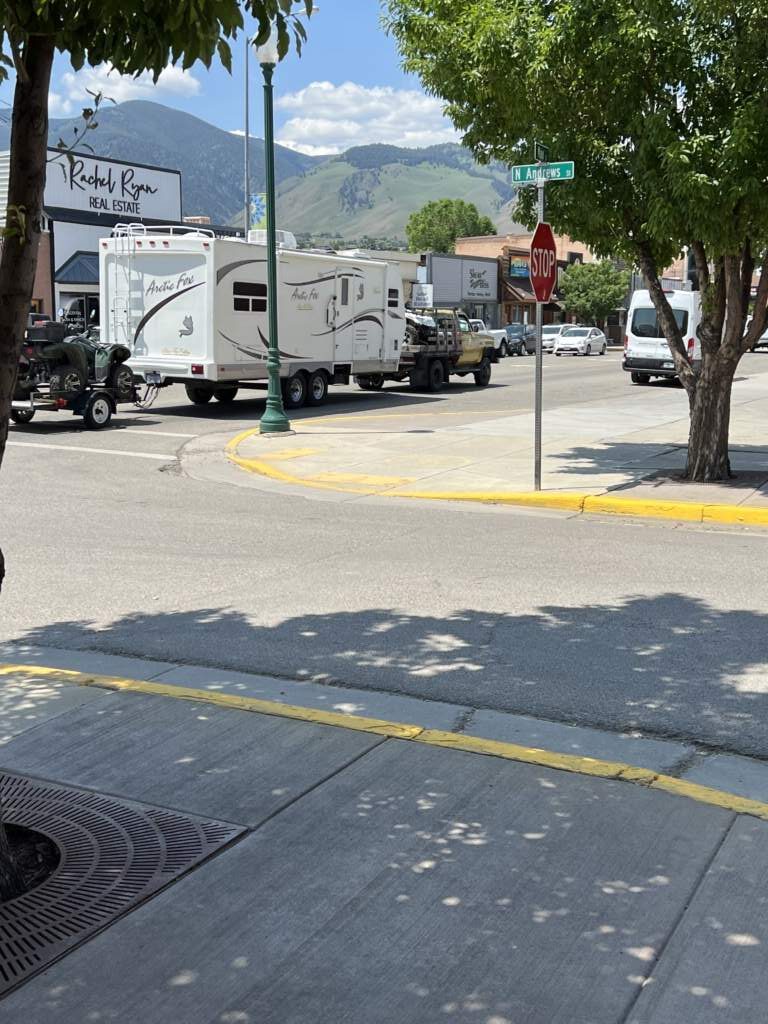
Here are a few photos so you can picture it better. Oh, by the way, and as had already become the norm around these parts, every dog rode in the pickups, in the wind, loose in the open bed — well, it’s their way of life; we never saw a single one fall out 🙂
The cabin: the best of the trip, hands down
The booking said there were 400 meters of gravel to reach the cabin. In reality it was 1.4 kilometers. JP asked a farmer, who confirmed it was right nearby — another 400 meters, uphill.
JP went for it without hesitation and made it up with no trouble. He encouraged me to try. I stopped halfway. I made it.
What we found when we arrived was worth every meter of gravel: a three-story cabin, all wood, with two full bathrooms and a half bath. The spiral staircase was a real tree, uncarved, winding up floor by floor. Impressive.
Without a doubt, the best lodging of the whole trip.
The Fourth of July from the balcony
JP prepared the snacks we’d bought the day before and cooked pasta with a spicy sauce. We had dinner on the balcony before 10 at night.
And then the fireworks began.
Not just one show. All of them. Every ranch on the horizon set off its own, one after another, in every direction. Some we could hear and see. Others, too far away, we could only see: silent flashes of light in the darkness of the desert.
It was beautiful.
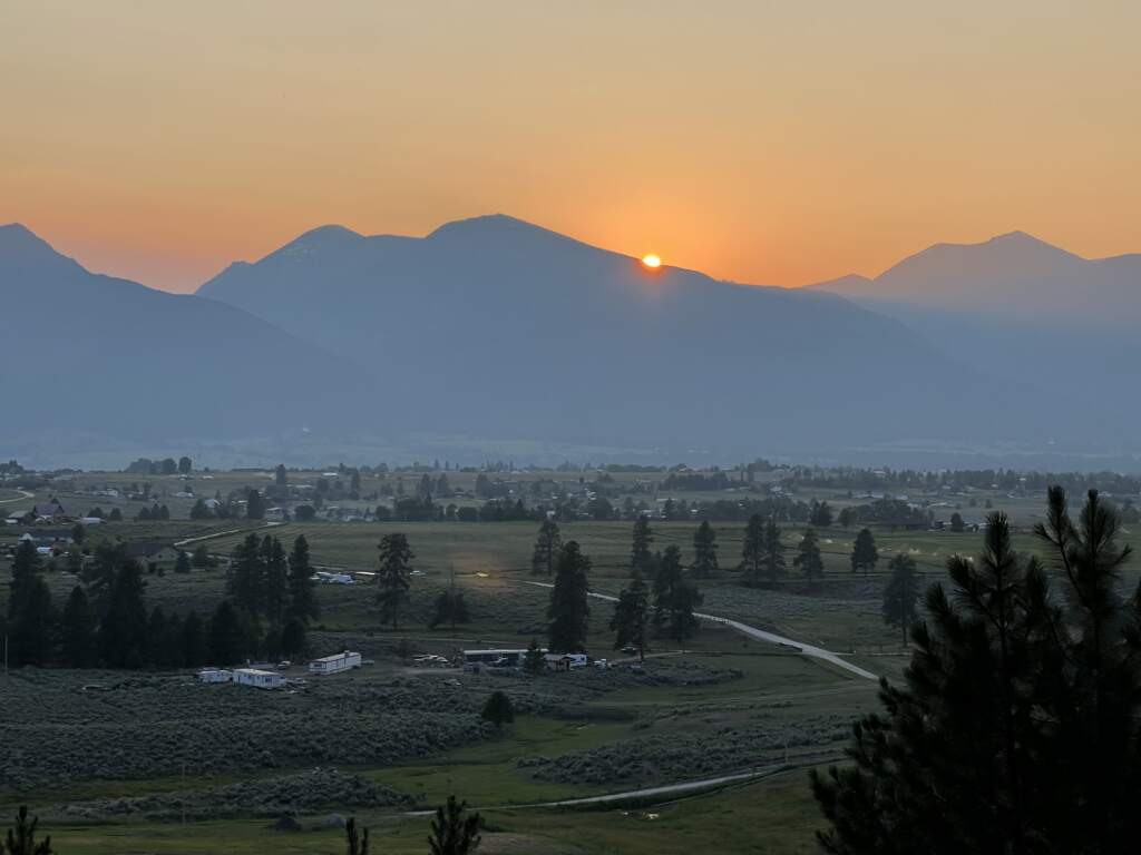
Oh, and like every day, as had become our habit, we took a walk around the surroundings, which we loved doing, though this time with the horn and bear spray in hand, since we were out in the middle of nowhere. The anti-mosquito bracelets JP bought saved me from hundreds of bites.
It was a special night, where we savored an Oban in perfect conditions. We were on cloud nine.
📍 Resources and recommendations
🛣️ Highway 28, Idaho — The desert between Yellowstone and Glacier. Carry plenty of extra gas.
🎪 Leadore, Idaho — If you’re passing through on the Fourth of July, stop. You won’t regret it.
⛽ Salmon, Idaho — The only spot for gas and food on this route. Don’t skip it.
🏔️ Lost Trail Pass — 2,138 meters, spectacular scenery and plenty of Lewis & Clark history.
🏠 Cabin in Stevensville — Search Airbnb or VRBO for cabins around Stevensville (MT). Ours was the best of the whole trip.
Route from Seattle to Yellowstone and Glacier Park
- 2022 USA, a dream trip … failed!
- USA, a dream trip 2, we did it!
- Seattle (WA) to Walla Walla (WA)
- Walla Walla (WA) to Lochsa Lodge (ID)
- Lochsa Lodge (ID) to Gardiner (MT)
- Yellowstone & Bear Tooth Pass (WY)
- Yellowstone (WY) to Idaho – Irwin (ID)
- Idaho via Salmon on the way to Missoula – Stevensville (ID)
- Idaho to Montana, to Glacier Park – Kalispell (MT)
- Going to the Sun – Glacier National Park (MT)
- Glacier Park (MT) to Colville (MT), riding along the Canadian border
- Highway 20 Along the Canadian Border, heading to Concrete (WA)