Alaska, USA, June 2011
It all started back in 2010 when I did my first organised group trip with an external company — in that case heading to Norway with the owner of an English dealership who put these trips together (but that’s a story for another day).
I still remember what the organiser told me: “Juan, if you love the glaciers and landscapes of Norway, you have to go to Alaska — it’s the only place that can top them.“
So I got my act together and contacted Alaska Tours, now Motoquest, and headed to Alaska for my first ever “dirt” adventure — all the way to Prudhoe Bay, the northernmost tip of Alaska on the Beaufort Sea, home to what was then the largest oil reserve in the United States.
To write this I had to dig out photos from back then — thirteen years ago — and retrace the journey in my mind before putting it down on the blog. It took time and effort, but here it is. I hope you enjoy the ride.
PREPARATION
First things first: I had to get fit and learn how to ride on dirt — something I had never done, having always ridden on tarmac. Time to step up.
I was living in Luxembourg at the time, so I called my good friend Cuto and we started looking for a solution — which we found at BMW Germany.
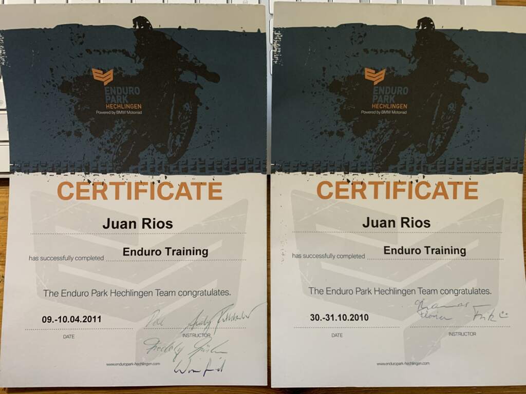
The two of us headed to Enduro Park Hechlingen, near Munich. Motoquest had been very clear: the ride to Prudhoe Bay was serious business, and I needed to be properly prepared with dirt riding courses. Once I completed levels 1 and 2 and sent them the certificates, they gave me the green light — just to give you an idea of the scale, level 4 was the Dakar prep course.
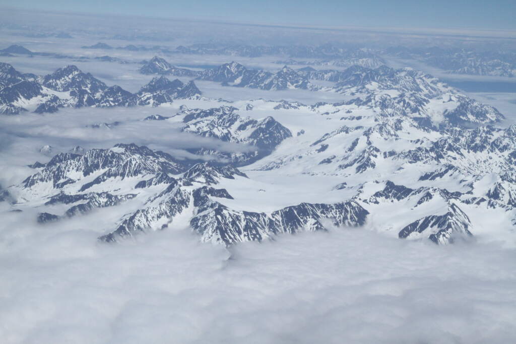
In the end I flew out and arrived in Anchorage a few days early to get over the 8-hour jet lag before the trip even started.
ARRIVING IN ANCHORAGE
Anchorage didn’t have much to offer sightseeing-wise, so we headed straight to Alaska Tours to introduce ourselves and check out the bikes. Our expedition leader turned out to be Brenden — an 18-year-old local who knew Alaska inside out. We couldn’t help being surprised that someone so young would be calling the shots.
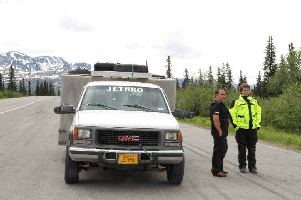
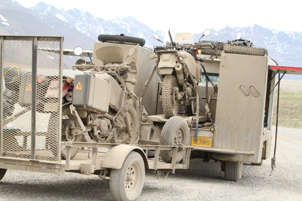
Brenden was backed up by Dan Patino, an Italian-American and a solid mechanic. The two of them took turns driving Jethro — a massive truck that also carried a sizeable fuel reserve, since there were a couple of stretches along the route with no petrol stations. It also towed a trailer with a spare bike, just in case one broke down — which did happen. On top of that, Jethro was a fully equipped mobile workshop, because once we left Anchorage, we’d be completely on our own for around 900 miles all the way to Prudhoe Bay.
Oh, and then we had to make it back too!
ALASKA TOURS aka MOTOQUEST
Here’s the route — I’m not entirely sure about the return leg since we visited a few extra spots that no longer show up on Google Maps, but it’s roughly accurate. Paved as far as Fairbanks, then all dirt from there… a proper adventure.
We ended up as a group of 7 riders, plus Brenden and Dan, with Jethro and the trailer. A small group, good people.
I remember at the dinner before departure, Brenden ran through some ground rules that we followed to the letter. Here are a few:
- Watch out for trucks. If you see one coming head-on, pull well off to the side of the track so they can pass safely. These were supply trucks heading to Deadhorse — the oil town — and they drove flat out regardless of conditions. I later saw them on a TV programme about the world’s most dangerous roads, doing over 50 km/h on ice in winter.
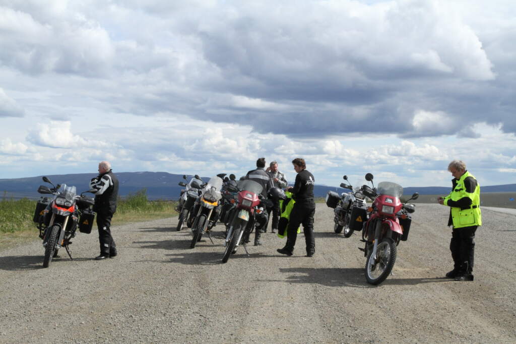
- Once out of Anchorage, we’d be completely alone with no one in sight. So if anyone needed to stop — for a comfort break or a photo — you had to lay your bike across the middle of the track to signal to the sweep rider (Brenden or Dan) that someone was there. If you didn’t, the last rider could pass you without noticing and you’d find yourself completely alone… in silence, with no communication whatsoever.
- There was only one satellite phone, carried by Dan or Brenden. Any emergency had to go through them.
- Be careful when stopping because of bears — there were plenty around and they could appear out of nowhere. Could be a problem.
- Leave at least thirty seconds between bikes so you weren’t riding in the dust or dirt cloud of the rider ahead. That way you could enjoy the solitude and the scenery. Ride too close and you’d see the person in front — which rather defeated the point.
- …
This was the real adventure.
We went to pick up our bikes at Alaska Tours. JA and I had chosen the BMW 1200 GS, while the rest of the group were on Kawasaki KLR 650s — better suited to the terrain — and one rider had gone for the BMW 700 GS. I’d trained in Munich on the 1200 GS, so that was the natural choice for me, and JA had one at home and did the same.
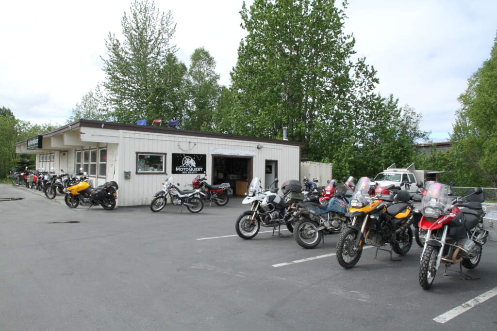
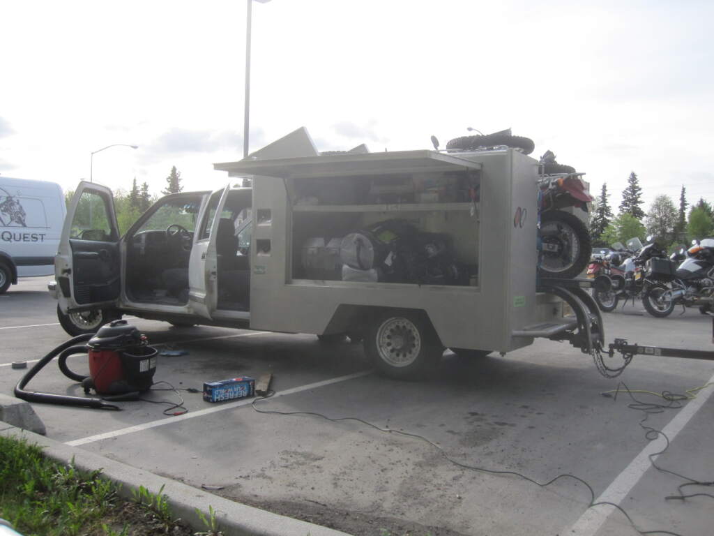
I was getting on well with Brenden — we’d been exchanging messages for months — and he mentioned the possibility of buying a Gerbing heated jacket. He told me it was going to be cold, and that same afternoon he fitted a cable to my bike. What a revelation that heated jacket was — I’d never even heard of one before. I still remember it wasn’t cheap: I paid $190. They’re $250 now as you can see in the link… but it’s a jacket I wore for many years.
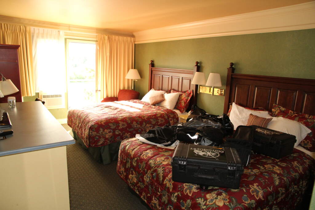
ON THE ROAD TO DEADHORSE
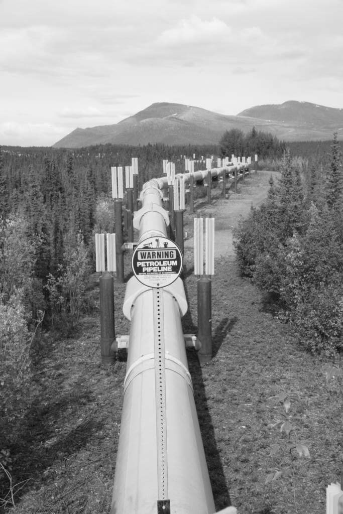
Reaching Fairbanks — the last outpost of civilisation on the route — we turned onto the Dalton Highway, which we would follow all the way to Deadhorse. Originally built in 1974 to support construction of the Trans-Alaska Pipeline System, it is now a public road cutting through remote and rugged terrain, including the 1,463-metre (4,800 ft) Atigun Pass through the Brooks Range.
The Dalton Highway is named after James W. Dalton, an Alaskan engineer who oversaw construction of the Distant Early Warning Line in Alaska and served as a consultant in early oil exploration on the North Slope.
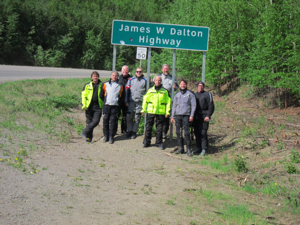
In the photo, let me introduce two people I have particularly fond memories of, aside from JA and Brenden (the 18-year-old expedition leader in yellow on the left).
The tallest one, with the grey beard, was a Silicon Valley engineer who had mounted a tiny camera on his helmet chin — a forerunner of the GoPro — programmed to take a photo every 3 seconds. None of us had ever seen anything like it at the time. Every evening he would sit down and review, delete and sort through all the shots — remarkable.
Then there was Jeff — I still remember his name — the first on the right in black with a little hat. He was an exceptional photographer (many of the photos in this post are his, since he copied them onto a portable hard drive for me in Anchorage before we flew home — and I did the same for him). He always found slightly elevated or unusual spots to shoot from, a more solitary character, but the results were stunning.
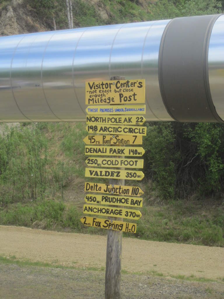
The route was straightforward in concept — just follow the track laid by the pipeline construction crews, maintained occasionally, except at Atigun Pass where it was repaired constantly due to ice build-up. The road never closed, not even in winter, because supplies had to keep reaching Deadhorse by truck.
Here’s a link to the history of the pipeline if you want to dig deeper.
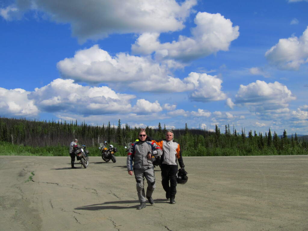
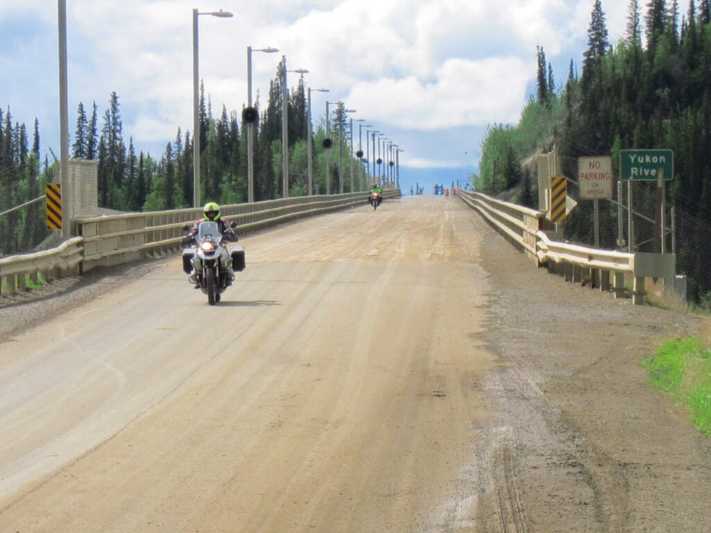
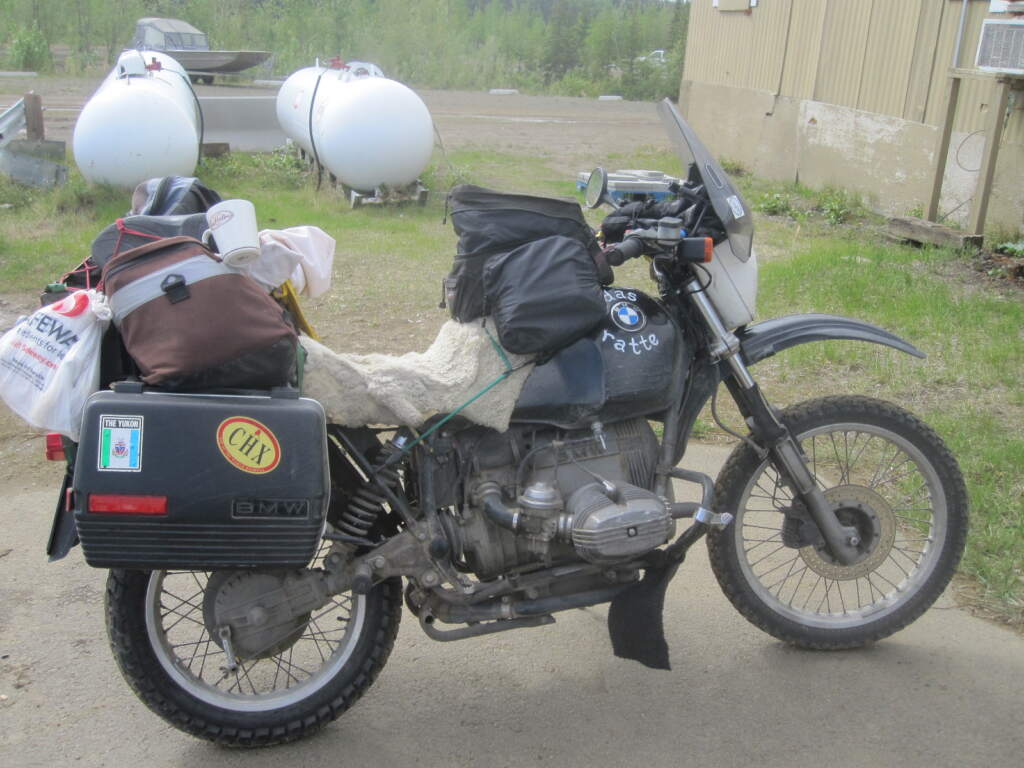
We thought we were the adventurous ones — until we kept running into solo riders with a tent strapped to their bike, like the person in the photo below. It was humbling to see people like that out there… hats off.
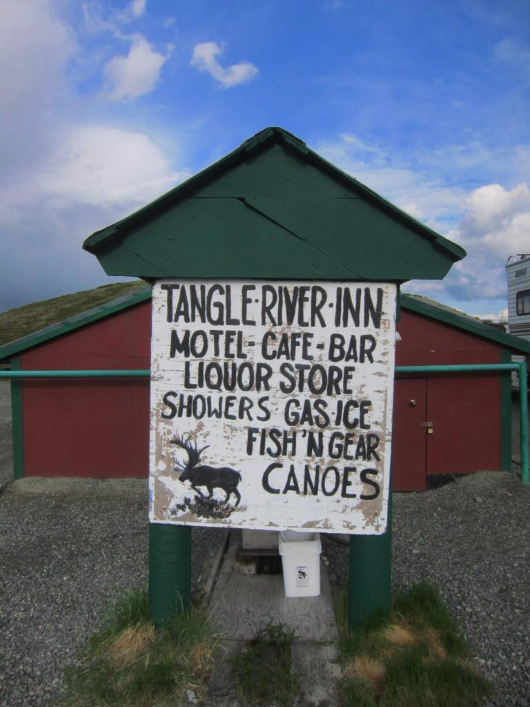
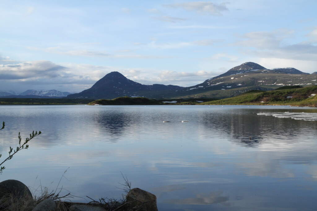
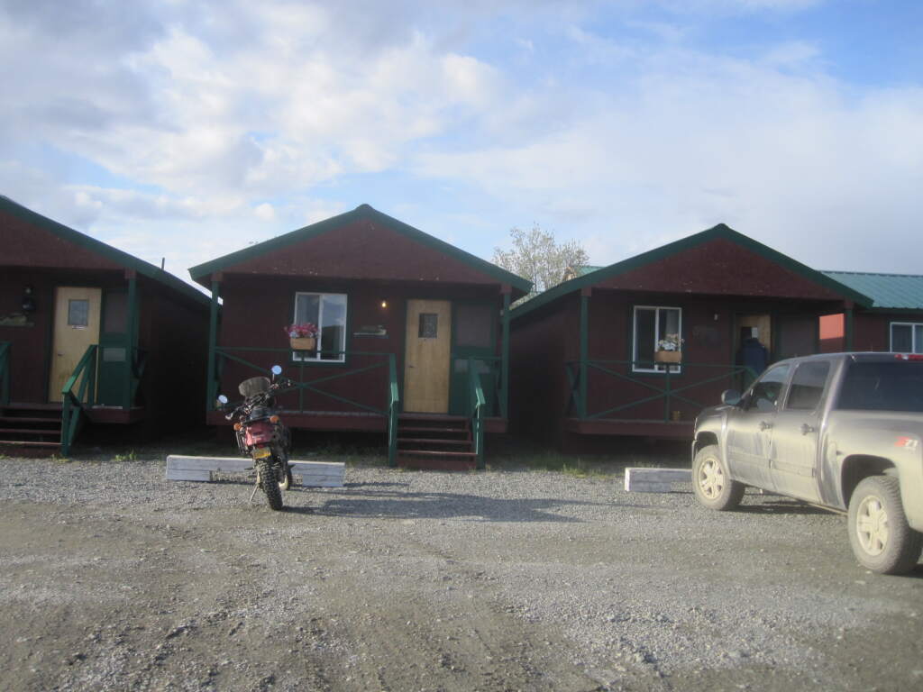
Before reaching Fairbanks we stopped at Tangle Inn. We could have pushed straight through to Fairbanks, but this was a chance to get used to the rental bikes and find our rhythm as a group — a stop that turned out to be very welcome. It was also a beautiful spot, with a calm lake and almost no one else around… something we’d feel throughout the entire trip.
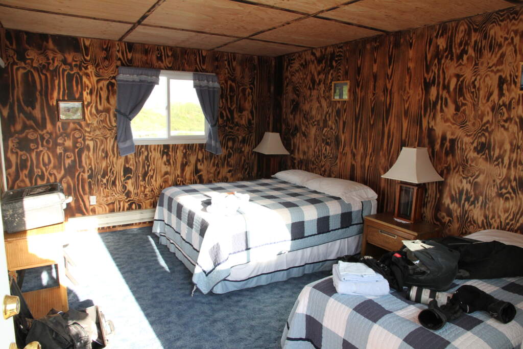
We pushed on towards Coldfoot, our next stop. In between, Jethro kept us fuelled up since there were no petrol stations along the way.
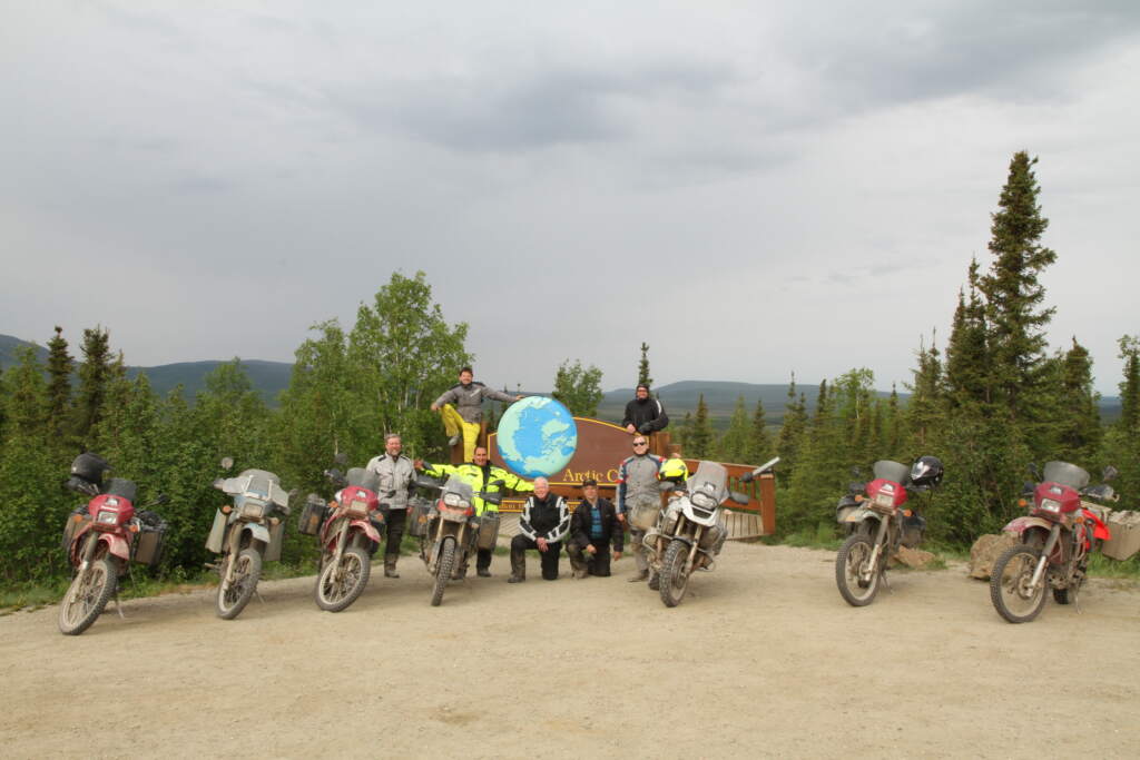
A mandatory photo at the Arctic Circle marker. All seven of us, with me next to the rider with the yellow helmet.
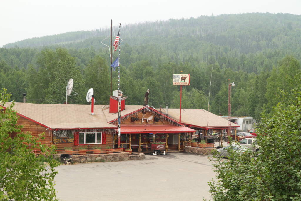
A quick note on why Jethro wasn’t in the photo above: the truck moved slower than the bikes, so it left camp one or two hours before us each morning. We’d overtake it on the road, then meet up again at fuel stops. They had it all timed out.
What they hadn’t fully anticipated was the number of bike breakdowns — or Jethro’s own. By this point the BMW 700 GS had failed with an electrical fault that couldn’t be fixed in the field — unlike the Kawasaki KLR 650s, which Dan and Brenden could sort without problems. The first spare bike from the trailer went out on day one, before we even reached Tangle Inn.
Further along, a second bike broke down — this time a KLR — and was replaced by the second spare. No more spares left after that.
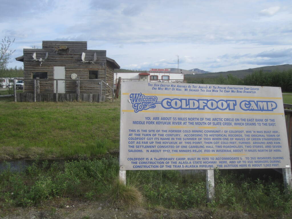
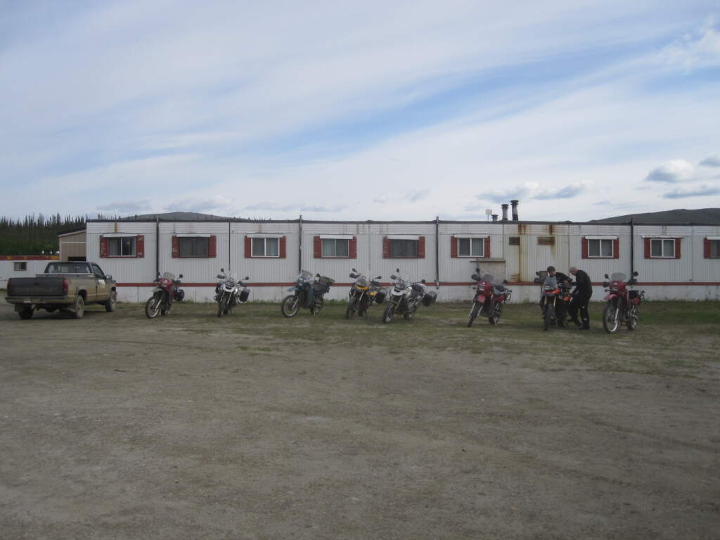
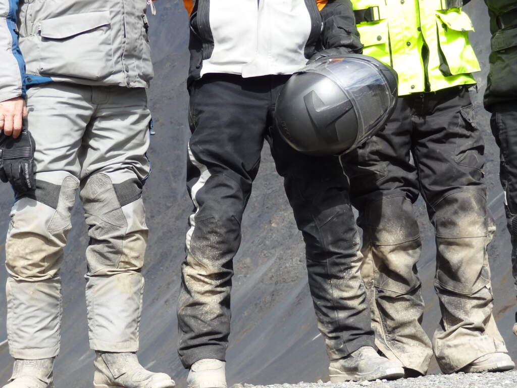
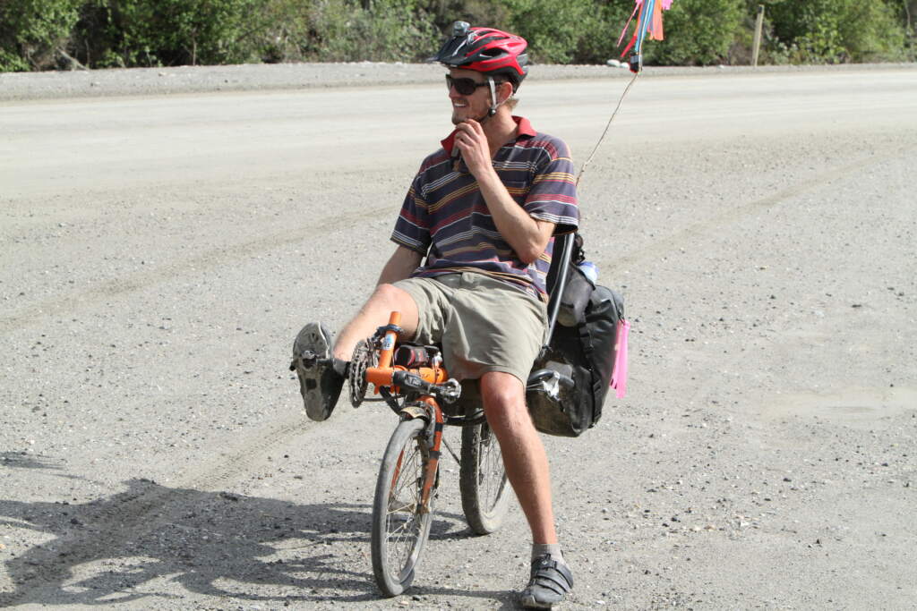
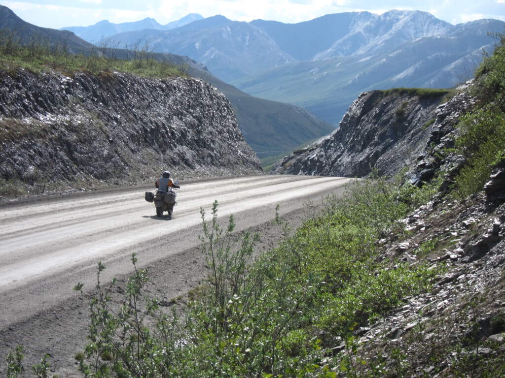
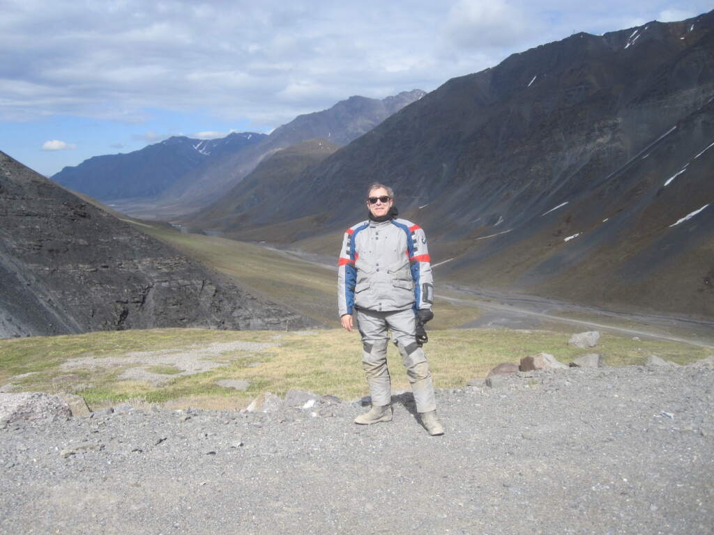
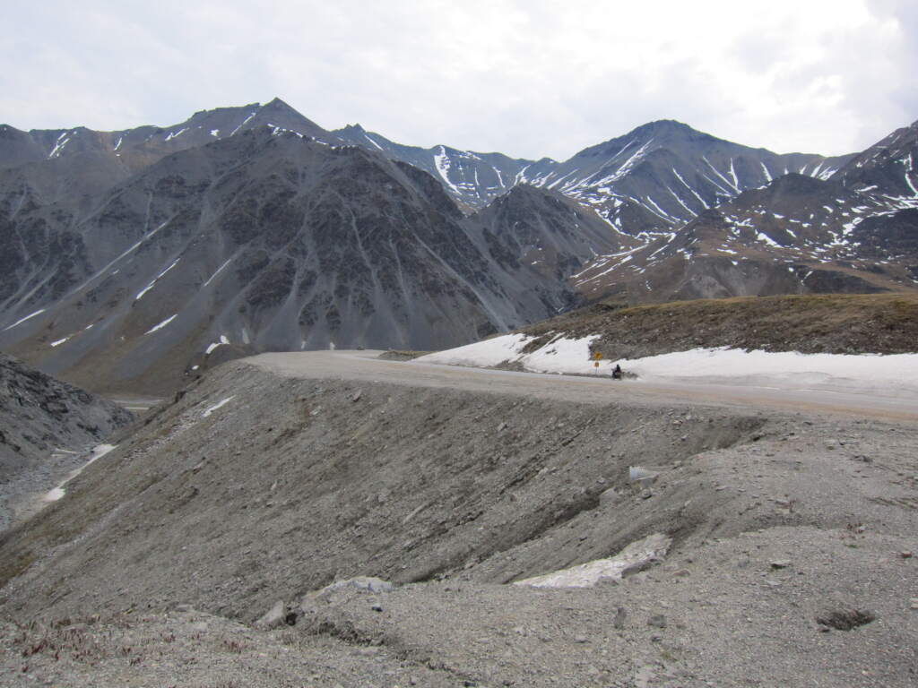
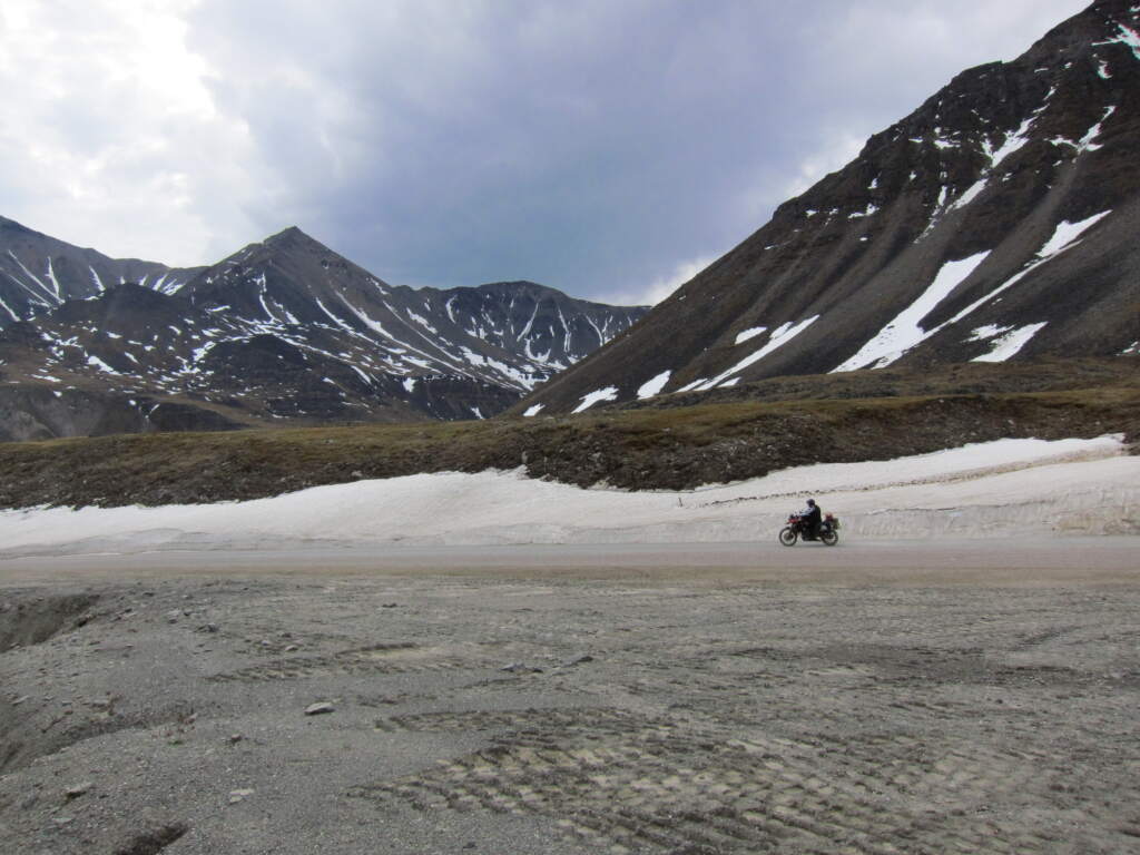
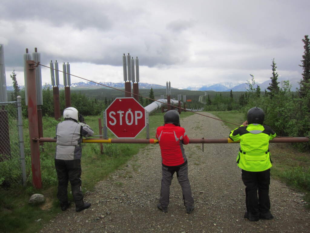
We were closing in on Prudhoe Bay, on Deadhorse. Brenden warned us that the last 50 kilometres were tough — the road was made of large loose rocks where the front wheel sank easily. We’d also be riding into zero degrees, and with the wind coming off the sea it would feel like -10°C to -15°C. We rode in a tight group, barely any gap between us, so we could keep an eye on each other if someone got stuck or went down. The wind was loud and strong.
It was hard, but we all made it to Deadhorse without incident.
One recurring topic of conversation with Brenden and Dan was that the route was gradually being paved, meaning RVs (recreational vehicles) would eventually be able to reach Deadhorse without going through what we did.
They were right. A few years ago I watched a YouTube episode by Itchy Boots — a solo rider I follow — who rode to Deadhorse and those last 50 kilometres were already paved. It’s not the same anymore.
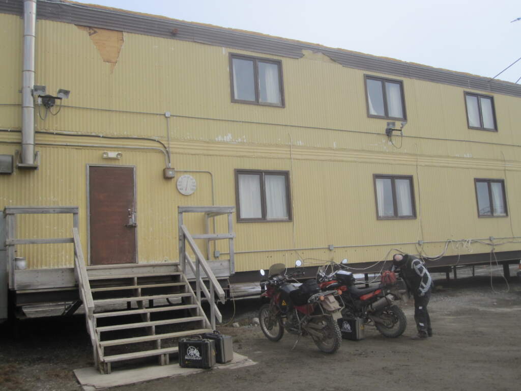
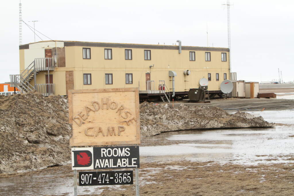
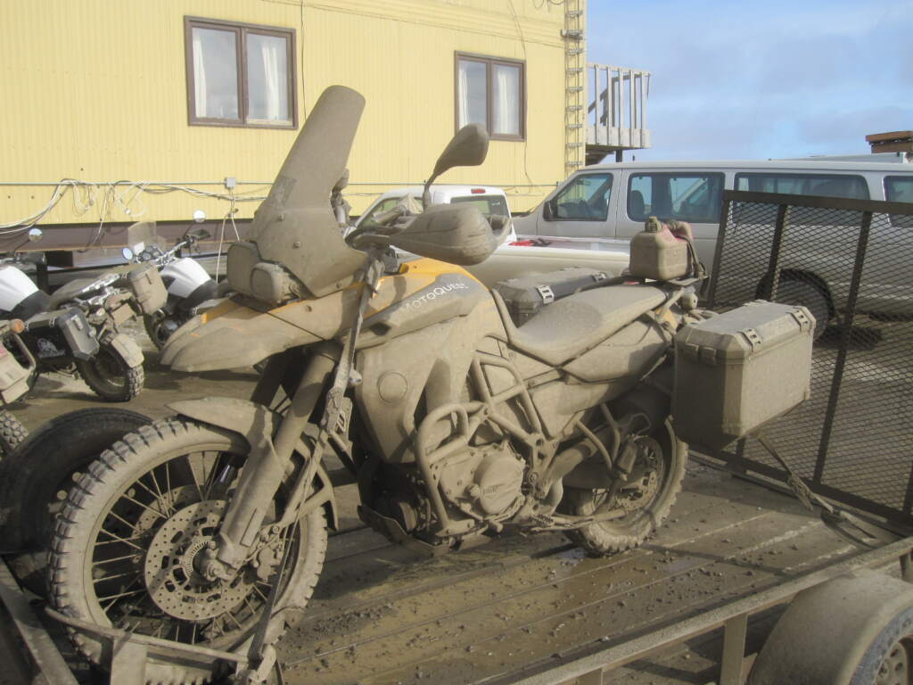
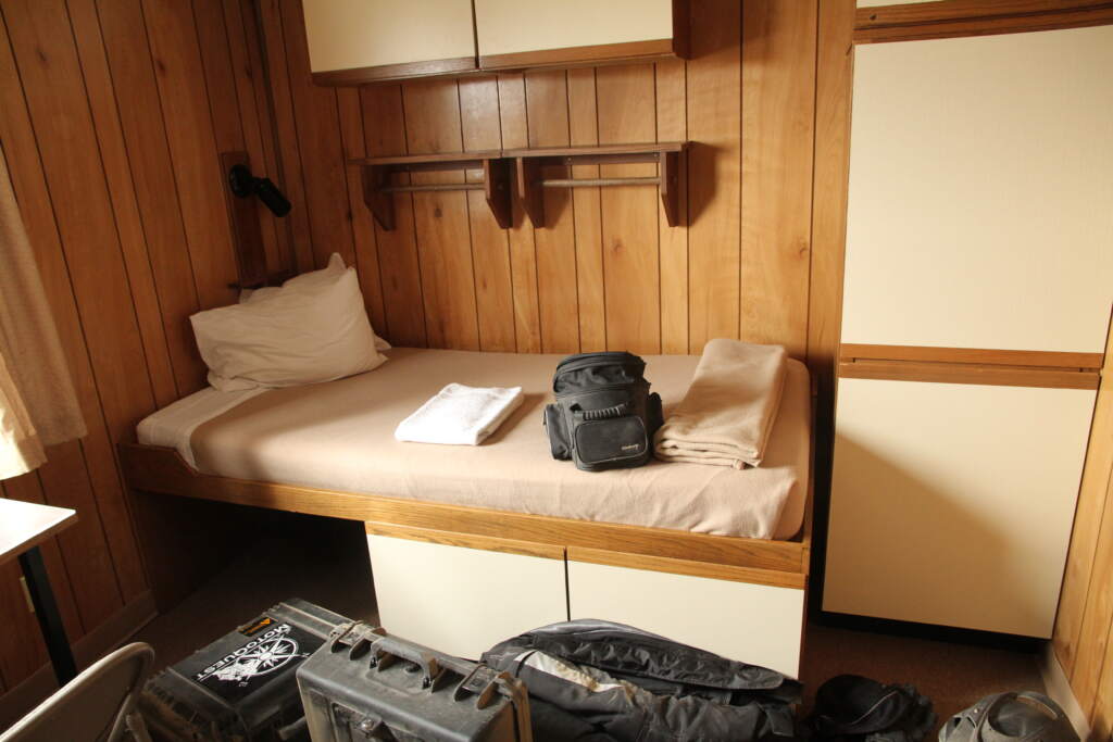
It had room for everything — even the panniers!
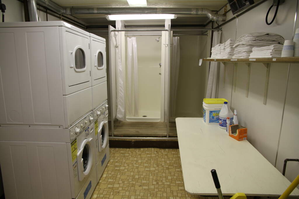
This is where I did my laundry — like many others — and we left clean, heading back to Denali and Anchorage.
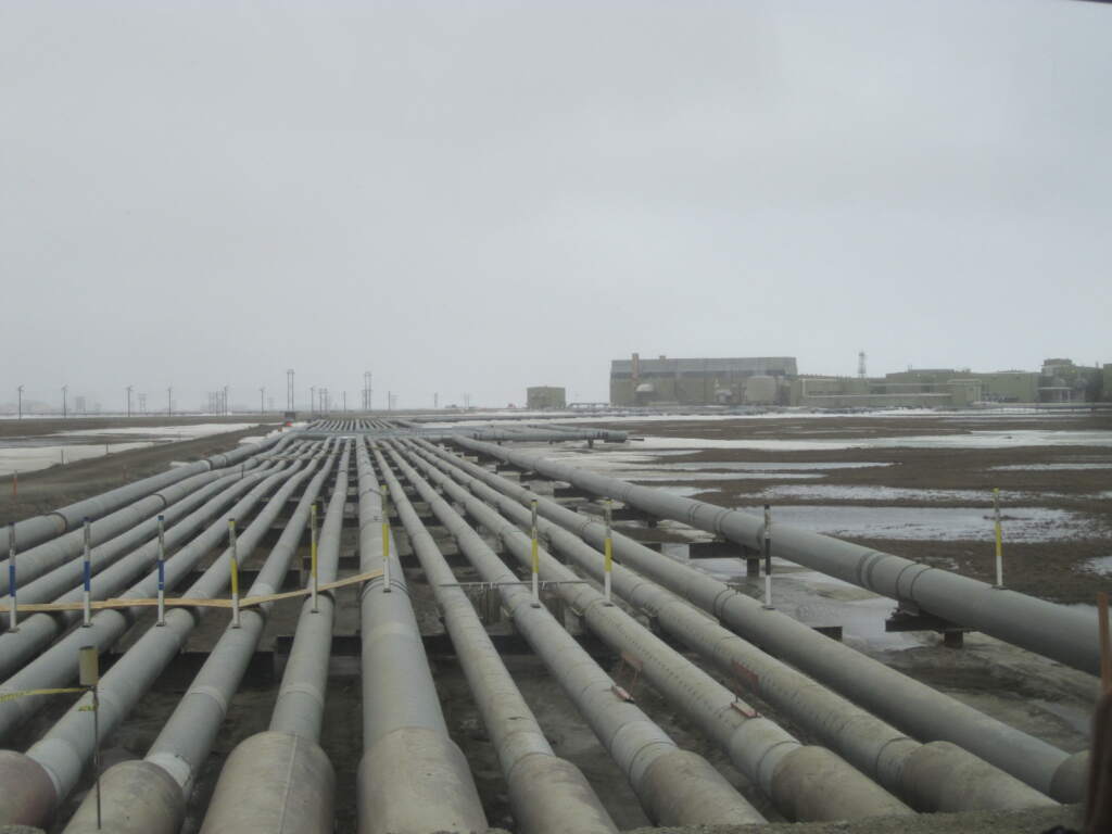
When we visited, the oil was managed by three companies: BP, ConocoPhillips and Exxon. We were told that Deadhorse operates on a colour-coded flag system — green, yellow and red.
We were lucky enough to get green: good visibility, and the only issue was the cold and the ice. Yellow meant restrictions due to wind and blizzards — certain operations suspended and movement between sites limited. Red meant stay indoors, with only essential operations permitted.
Deadhorse had a dirt airstrip used by the oil company workers coming and going. I can’t remember the exact ratio, but they told us the number of days off per days worked was quite generous — and earned. Working there in often brutal conditions, the compensation in rest time and salary was, from what we saw, completely justified.
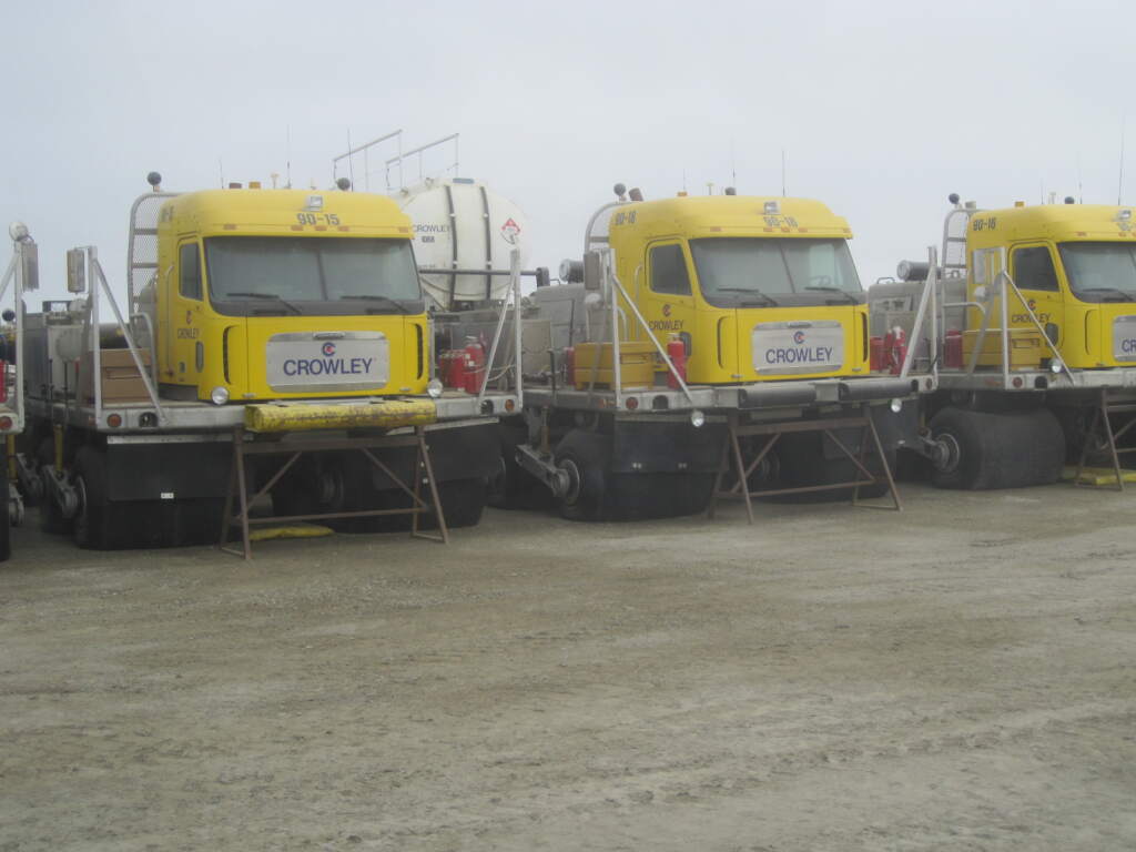
We also saw machines we’d never encountered before — all kinds, many of them repeated all over the place. It was quite a sight. Here’s one photo, but there was plenty more to see… wild stuff.
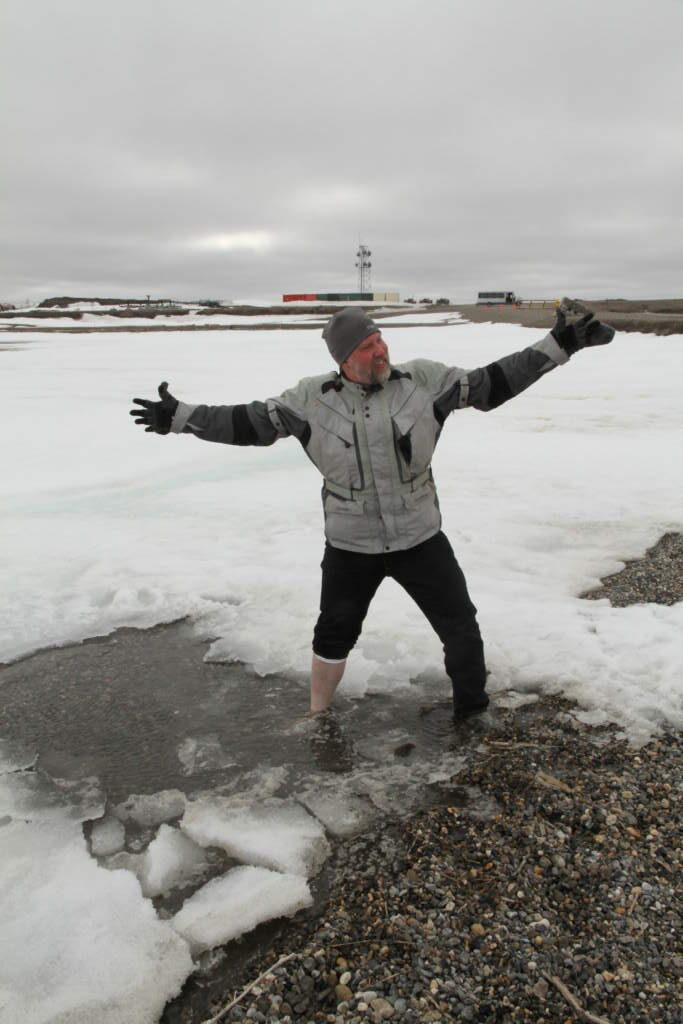
In Deadhorse, tradition dictates you take a dip. In zero degrees with wind chill, the bravest among us — the Silicon Valley engineer — managed to put one bare foot in the frozen water. I didn’t have the nerve.
They took us out to the frozen sea in a truck with special tyres. Quite an experience.
Why the name Deadhorse? The true origin isn’t known for certain, but the story we were told is that it comes from the name of the airstrip construction company: Dead Horse Hauling.
Since this post is already getting long, here’s a great resource if you want to learn more about the history of Deadhorse, Prudhoe Bay, the Dalton Highway and the other places we passed through: Prudhoe Bay
On the way back from Deadhorse we headed south towards Denali National Park, retracing part of the route since there was no alternative. Unfortunately I have no photos from the Denali Highway — a real shame.
Personally, the Denali Highway is one of the three best roads I’ve ever ridden, and I still remember it vividly.
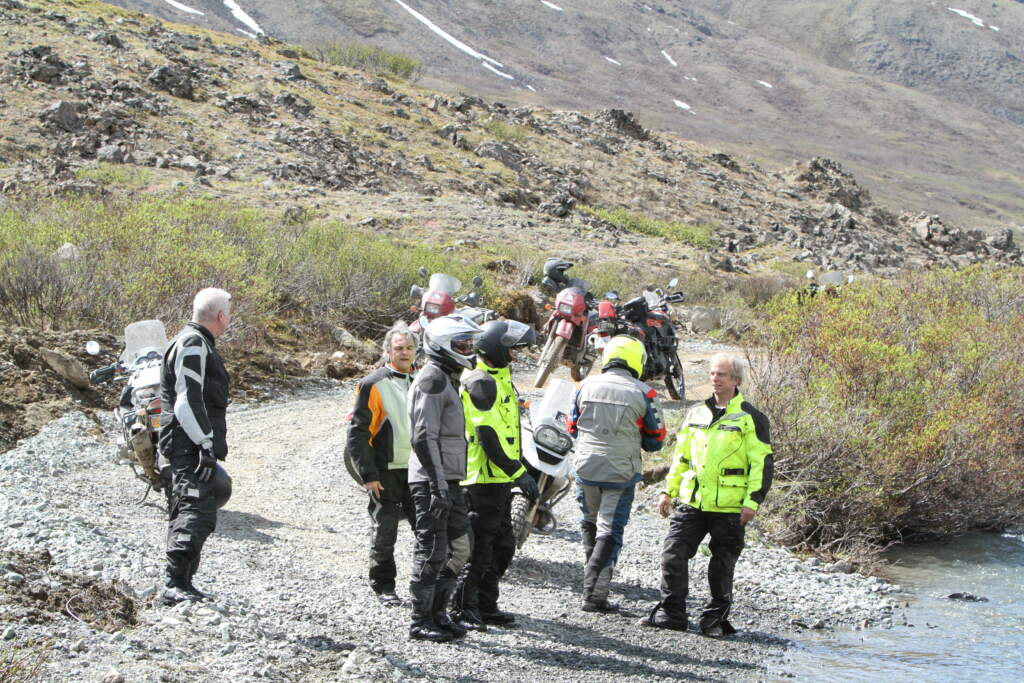
On the return leg, Brenden had the bright idea of going to cross some rivers off-road. We left the panniers by the roadside and rode a couple of kilometres down a track, where we found several river crossings.
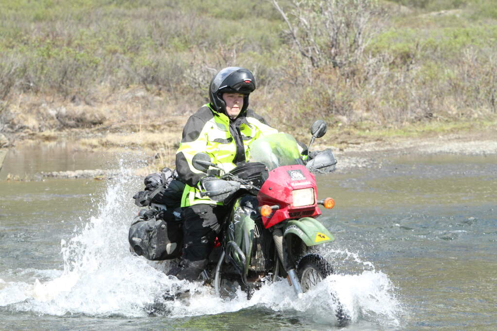
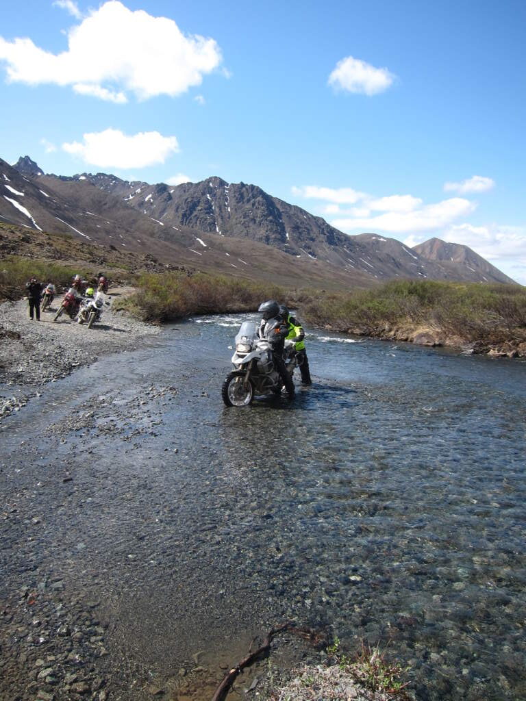
After that unplanned off-road detour, Jethro broke down. The punishment it had taken, combined with the weight it was carrying, finally got to it. I’m not sure how Brenden managed it, or what time he arrived at Trapper Creek Inn, but he came back with a pickup to take the trailer, and by the next morning Jethro was repaired — something with the radiator, I think. Whether he slept or not I’ll never know, but he sorted it in remarkable fashion.
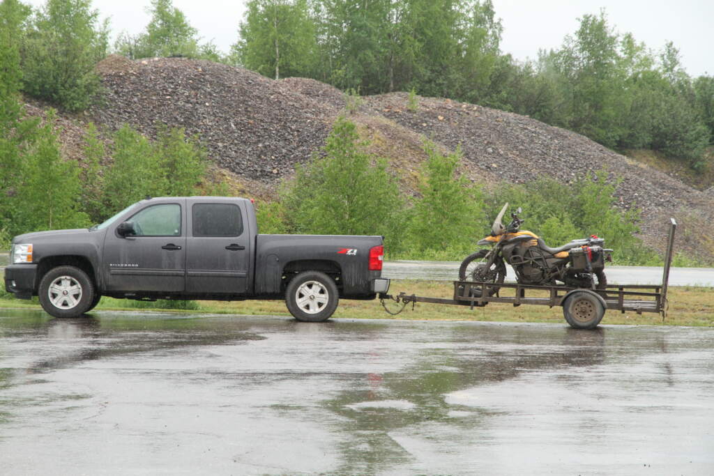
Heading towards the Denali reserve, we stopped for the night at Trapper Creek Inn, where some well-earned cabins and a restaurant were waiting for us. We had Alaskan salmon — a deep, vivid red, nothing like the pale pink we get at home. A special evening after everything we’d been through.
We carried on, and another KLR 650 broke down — with no more spare bikes left. We got lucky: it happened near a small settlement (calling it that is generous) where they managed to find the parts needed and fix it.
Brenden told us he’d never experienced anything like it — bikes and truck all going down on the same trip. But in this kind of adventure, anything can happen… and it did.
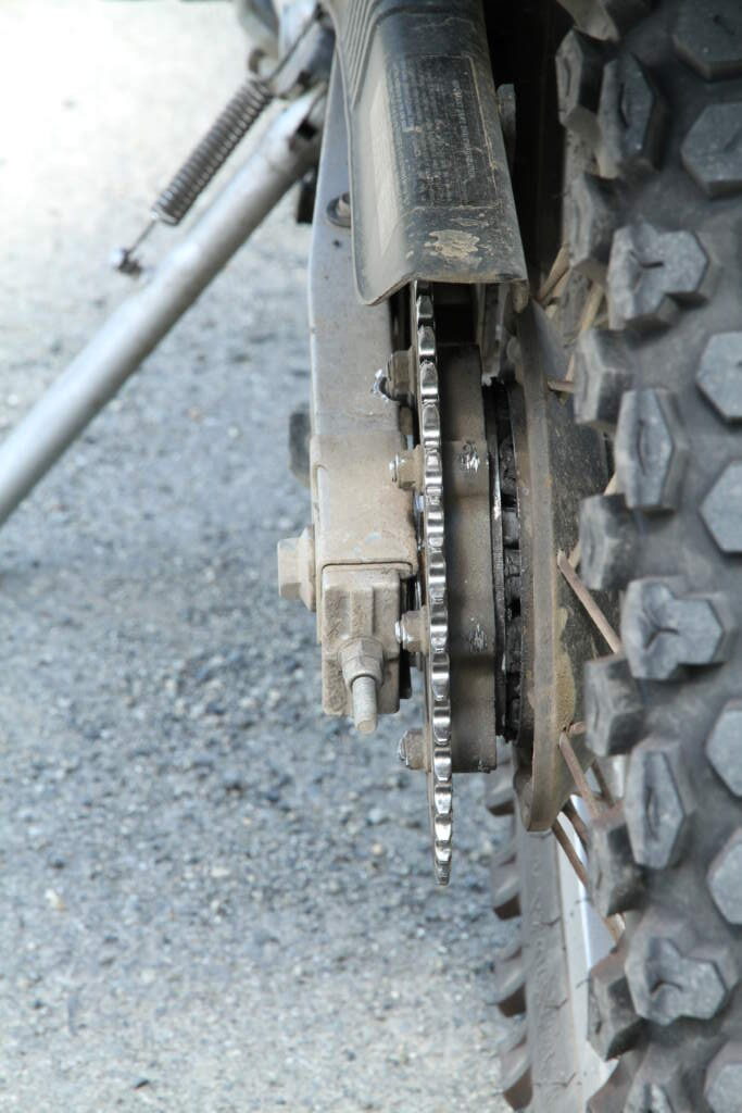
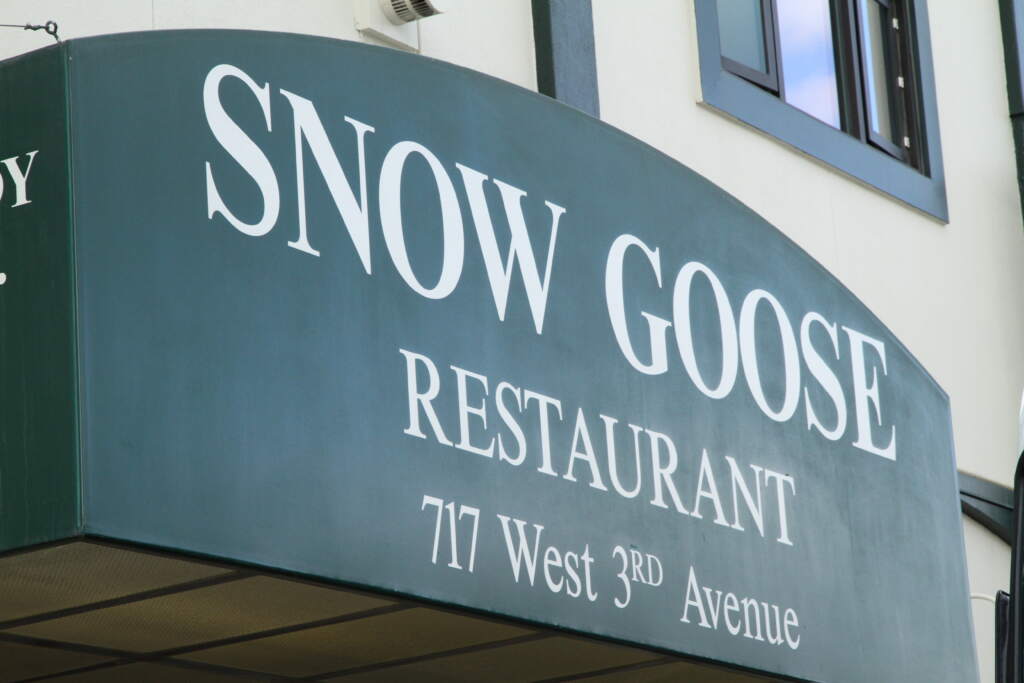
We made it back to Anchorage and had our farewell dinner. I looked it up online and the restaurant was sold in 2015 and has since closed.
It was a very special trip, and thinking back on it after thirteen years, I’d do it all again in a heartbeat.
The question is — with the tarmac spreading along the Dalton Highway, RVs already making the journey and tourists arriving from everywhere… would it still be the same?
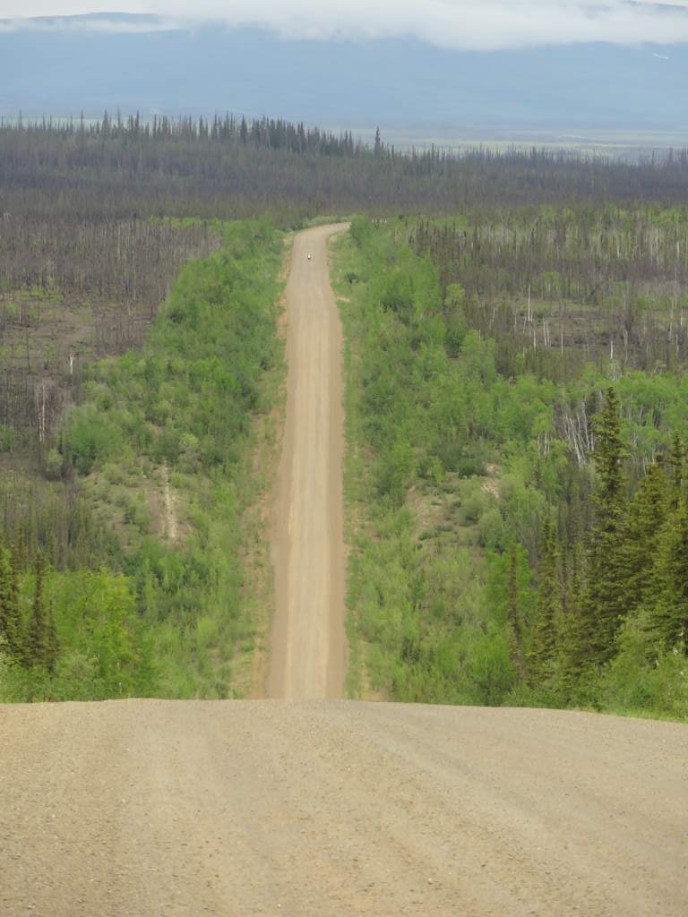
If I had to choose one single image from the Alaska trip — apart from the blog header photo — it would be this one. Somewhere in the distance, that’s me with my yellow helmet… alone. Only Jeff, up on a hillside, was watching.